-
 948
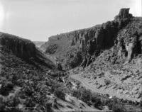
948 "Castle Drive;" road going to Balanced Rock, near Castleford, Idaho; Salmon Falls Creek Canyon
-
 1021
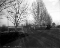
1021 "Looking East;" dirt road with automobile parked on the side; another automobile approaches; houses and outbuildings visible through bare trees; utility poles line road
-
 947
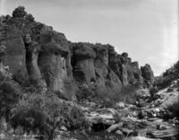
947 "Castle Walls;" rock formations in Salmon Falls Creek Canyon
-
 1013
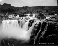
1013 "Shoshone Falls - July 12, 1932;" wide view of falls from south side of canyon
-
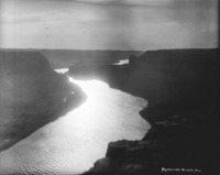 946
946 "Moonlight;" light reflected on the river
-
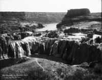 1012
1012 "Midsummer at Shoshone Falls;" dry falls with little water flowing
-
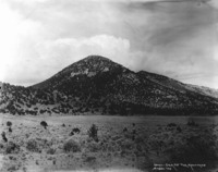 945
945 "Idaho - Gem of the Mountains;" small hills
-
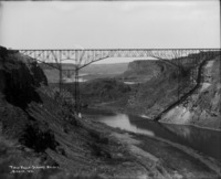 1011
1011 "Twin Falls-Jerome Bridge;" Intercounty bridge after construction; (later, the Perrine Bridge)
-
 944
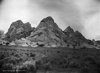
944 "City of Rocks;" view of several rock formations
-
 943
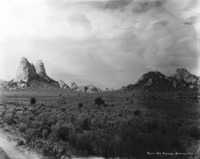
943 "City of Rocks;" the Twin Sisters rock formations on the left
-
 1010
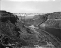
1010 "Twin Falls-Jerome Bridge;" Intercounty bridge after construction; (later, the Perrine Bridge)
-
 942
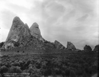
942 "The Twin Sisters - City of Rocks; tall rock formations;
-
 1009
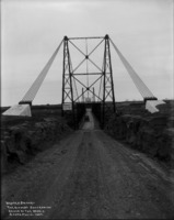
1009 "Hansen Bridge - The Highest Suspension Bridge in the World;" bridge over Snake River Canyon; automobile on bridge; sign reads "Hansen Bridge, Cross Snake River; Length - 608 feet; Height - 345 feet;"
-
 941
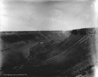
941 "The Snake River;" wide view of river and canyon
-
 1008
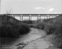
1008 "The Shoshone Street Bridge, Rock Creek - Twin Falls, Idaho;" View of the bridge from inside Rock Creek Canyon. Bridge was also known as the Singing Bridge. It replaced an original wooden bridge (built in 1907), and in 1992 was demolished and replaced with the Old Towne Bridge.
 948 "Castle Drive;" road going to Balanced Rock, near Castleford, Idaho; Salmon Falls Creek Canyon
 1021 "Looking East;" dirt road with automobile parked on the side; another automobile approaches; houses and outbuildings visible through bare trees; utility poles line road
 947 "Castle Walls;" rock formations in Salmon Falls Creek Canyon
 1013 "Shoshone Falls - July 12, 1932;" wide view of falls from south side of canyon
 946 "Moonlight;" light reflected on the river
 1012 "Midsummer at Shoshone Falls;" dry falls with little water flowing
 945 "Idaho - Gem of the Mountains;" small hills
 1011 "Twin Falls-Jerome Bridge;" Intercounty bridge after construction; (later, the Perrine Bridge)
 944 "City of Rocks;" view of several rock formations
 943 "City of Rocks;" the Twin Sisters rock formations on the left
 1010 "Twin Falls-Jerome Bridge;" Intercounty bridge after construction; (later, the Perrine Bridge)
 942 "The Twin Sisters - City of Rocks; tall rock formations;
 1009 "Hansen Bridge - The Highest Suspension Bridge in the World;" bridge over Snake River Canyon; automobile on bridge; sign reads "Hansen Bridge, Cross Snake River; Length - 608 feet; Height - 345 feet;"
 941 "The Snake River;" wide view of river and canyon
 1008 "The Shoshone Street Bridge, Rock Creek - Twin Falls, Idaho;" View of the bridge from inside Rock Creek Canyon. Bridge was also known as the Singing Bridge. It replaced an original wooden bridge (built in 1907), and in 1992 was demolished and replaced with the Old Towne Bridge.